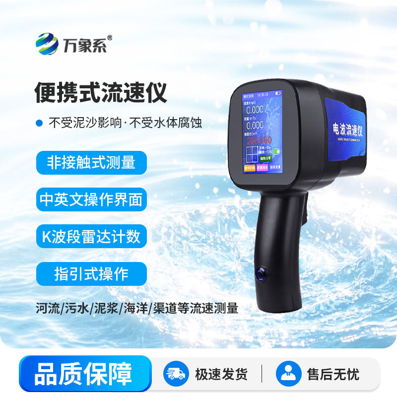
Measuring river and lake flow velocity and discharge is the most fundamental task in hydrological inspection, flood control dispatch and water resource management. Whether it is inspecting river hazards during flood seasons, dispatching water in farmland irrigation canals, tracing pollution outlets, or conducting basin-wide hydrological surveys, accurate velocity data is indispensable. Traditionally, hydrological velocity measurement mostly relied on conventional wading equipment. Staff had to set up flow measurement cross-sections and deploy equipment in the water, which was only cumbersome in operation with extremely high entry barriers but also posed significant safety hazards. During flood seasons when river levels rise rapidly and currents become turbulent, the risks of wading for velocity measurement, and working in the water during low-temperature seasons is particularly arduous. Furthermore, old velocity measurement tools are bulky and inconvenient to transport, making it difficult to reach monitoring points in mountain streams and scattered field irrigation canals. Consequently, flow velocity data for many small and micro water bodies have long been blank, leading to incomplete hydrological assessments. Nowadays, lightweight hydrological equipment become widely popular. The WX-LS5 handheld radar flow meter can accurately measure flow without entering the water, becoming an essential field equipment for frontline hydrological workers.
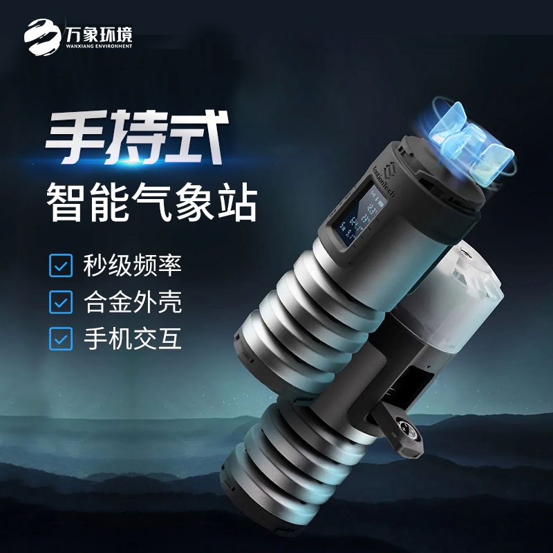
The design of the WX-LS5 handheld radar flow meter focuses on safety, convenience, and lightweight field operations. Traditional rotor-type velocity measurement equipment must be immersed in the, making it highly susceptible to being entangled and jammed by aquatic plants and debris. After heavy rains and floods carry silt, the equipment failure rate increases significantly, making subsequent maintenance and repair timeconsuming and laborious. Fixed hydrological flow measurement facilities can only monitor at fixed points, lacking the flexibility to maneuver and inspect scattered ditches and tributary points, resulting in poor adaptability. In contrast, the handheld radar flow meter relies on a non-contact velocity measurement principle. It does not need to touch the water at all, allowing velocity measurement to be completed from the shore bridges, or levee tops, completely avoiding the risks of falling into the water or wading in turbulent currents. The device discards bulky external accessories, making the entire unit lightweight and to carry. It requires no advance wiring or setup, and no complex debugging. It can be easily carried and used on the spot during field inspections. Whether for professional hydrological surveys or inspections by grassroots water affairs staff, the learning curve is extremely low, and beginners can operate it independently after a simple familiarization.
Real-time velocity measurement with intuitive data storage the most striking advantage of the handheld radar flow meter, solving the industry pain points of delayed field survey data and cumbersome recording. In the past, the field velocity measurement process was complex involving simultaneous on-site measurement, manual conversion, and handwritten registration. In noisy outdoor environments with poor lighting, it was easy to misread values, make conversion errors, or miss entries in the ledger. When multiple staff members conducted cross-regional inspections, inconsistent statistical standards led to significant deviations in the final aggregated data, consuming a large amount of time for review The handheld radar flow meter can calculate flow velocity in real-time on-site, with data instantly visualized. It requires no manual secondary conversion and automatically saves data from every measurement point distinguishing between different monitoring points such as rivers, ditches, and sluice gates. After field operations, the ledger can be uniformly organized and exported. The data is standardized and consistent eliminating subjective errors caused by manual calculations and significantly compressing the time required for field surveys, allowing hydrological personnel to focus their energy on water condition assessment and hazard inspection。
Article address:
http://www.qxhjjc.com/en/newcen/1889.html






 Home
Home phone
phone Product Overview
 Contact Us