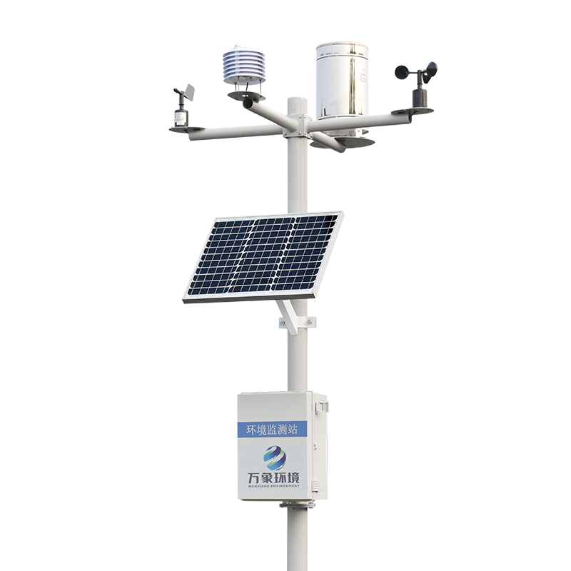
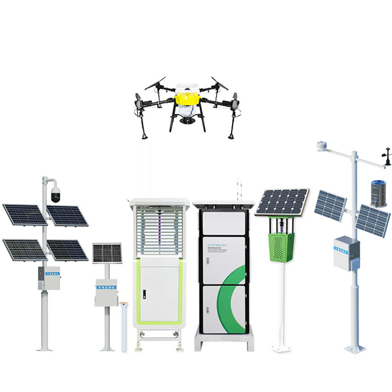
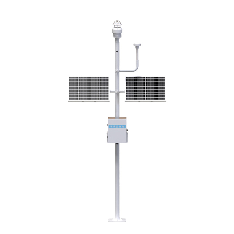
The landslide monitoring and early warning system is widely used in geological disaster prone areas, reservoir dams, mine slopes, transportation trunk lines and other important. Through real-time monitoring and early warning, the system can effectively reduce the losses caused by geological disasters such as landslides and ensure the safety of people's lives property.
1. Product Introduction
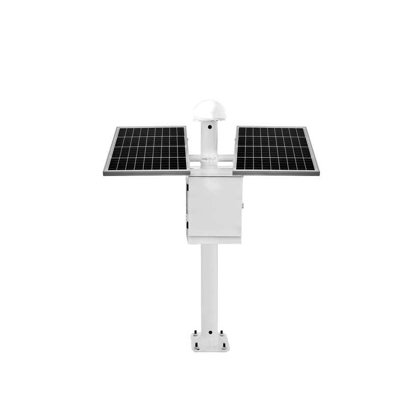
The GNSS monitoring system is based on satellite positioning systems with
known spatial positions, and adopts the basic principle of spatial
back-projection to achieve absolute positioning of ground user terminal
equipment. The receiver terminal deployed on site remotely and wirelessly
transmits the observation data to the monitoring center (usually a cloud
reception and storage) at a predetermined collection and transmission frequency.
The monitoring center analyzes and processes the observation data in real time
for the use of relevant technical and management departments.
From the perspective of data flow and functional division, the entire
monitoring system can be divided into three major parts: spatial part, ground
reference station part, and monitoring terminal.
2. Product features
1. Support for BEIDOU B1/B2/B3, GPS L1/L2/L5, GLONASS G1/G2, GALILEO
E1/E5a/E5b, 4 systems and 11 frequencies, independently developed high-precision
adjustment calculation software, and achieve multi-system and multi-frequency
high-precision positioning.
2. Product integration of inclinometer and acceleration module, auxiliary to
achieve displacement data mutation detection, and drive the adaptive adjustment
of the observation working mode.
3. The product is based on chip-level independent development, greatly
reducing overall power consumption, and is more suitable for continuous
operation in the wild.
4. Product support 4G/NB-IoT, wireless bridge, Ethernet and other data
communication transmission modes, support MQTT TCP/IP, NTRIP, JT808 and other
communication protocols.
5. The product is equipped with a high-performance industrial-grade 32-bit
ARM core processor, with powerful local computing capabilities, and an embedded
web server built-in, allowing for two-way interaction remotely.
6. Support dynamic high-precision computing based on application scenarios
and monitoring needs
7. Front-end embedded stellar day filtering, Kalman filtering, mutation
detection and other algorithms, cloud integration of big data cleaning, trend
analysis, grey prediction, tangent angle analysis and other models, greatly
ensuring data reliability.
8. The product adopts an aluminum whole-milling shell, inner and outer
sealing protection, anti-falling soft rubber design, with excellent protection,
anti-falling and shock absorption performance.
Three, working conditions
Working voltage: 12V~36 V
Instantaneous maximum current: <5A; Working current: 10mA~120mA
Rated power consumption: less than 1.2W
Working temperature: -40°C〜85°C; Working humidity: 95%RH
Four, Technical Parameters
Parameter nameTechnical indicators
Static precisionHorizontal accuracy: ±(2.5 + 0.5 x 10⁻⁶ x D) mm
Vertical accuracy: ±(5.0+0.5x10⁻⁶xD) mm
Dynamic precisionHorizontal accuracy: ±(8.0 + 1.0 x 10⁻⁶xD) mm
Vertical accuracy: ±(15.0+1.0x10⁻⁶xD) mm
Received signal typeBEIDOUB1/B2/B3; GPSL1/L2/L5; GLONASS G1/G2. GALILEO
E1/E5a/E5b 4 System 11 Frequencies
Sampling frequency1Hz/2Hz/5Hz/10Hz/20Hz optional
Interface communication methodRS232, 4G/NB-IoT; Radio communication
Working temperature-40C to 85℃
Working humidity95%RH no dew
Protection levelIP68
Impact/vibrationCan withstand 2m free fall
Power supply mode12〜36V DC wide voltage power supply
Differential dataRTCM3.2
Voltage ripple100mvp-p(max)
Speed measurement accuracy0.05m/s
All-in-one size213mm×129mm
All-in-one weight<2.2Kg
Software OverviewSupport for dynamic and static resolution, device status
management, and precision assessment of the results data.
5. Installation Precautions
1. The open view of the sky is relatively unobstructed, with no continuous
obstacles within a 15° vertical angle.
2. Stay away from high-power radio transmitting sources (such as television
stations, radio stations, microwave stations, etc.), the distance should not be
less than 200 meters, stay away from high-voltage transmission lines and
microwave wireless communication signal transmission channels, the distance
should not be less than 50 meters
3. There should be no strong signal reflecting objects (such as large
buildings, large bodies of water, etc.) nearby.
4. The traffic is relatively convenient, which is conducive to construction,
surveying, and later maintenance operations.
5. The setting out of the datum points shall be carried out according to the
design scheme, and their foundation shall ensure stability.
6. The setting of monitoring points should be carried out according to the
design scheme, and any necessary fine-tuning should be fully communicated and
determined with the design unit.
Product address:
http://www.qxhjjc.com/en/GNSS/1555.html 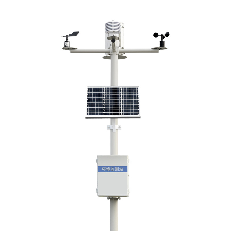


 Home
Home phone
phone Product Overview
 Contact Us