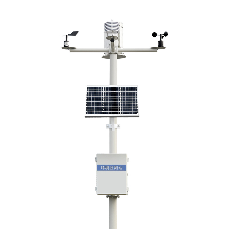
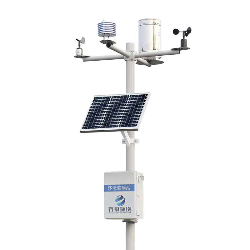
Among the lofty mountains and deep valleys, the GNSS monitoring and early warning system for geological disasters is like a meticulous doctor, always keeping an eye on the pulse of the earth. This monitoring network based on the Global navigation satellite system is transforming the traditional way of geological disaster prevention and control, safeguarding the safety and stability of mountainous areas with millimeter-level precise measurements.
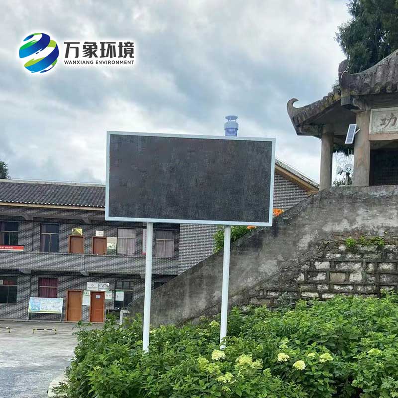
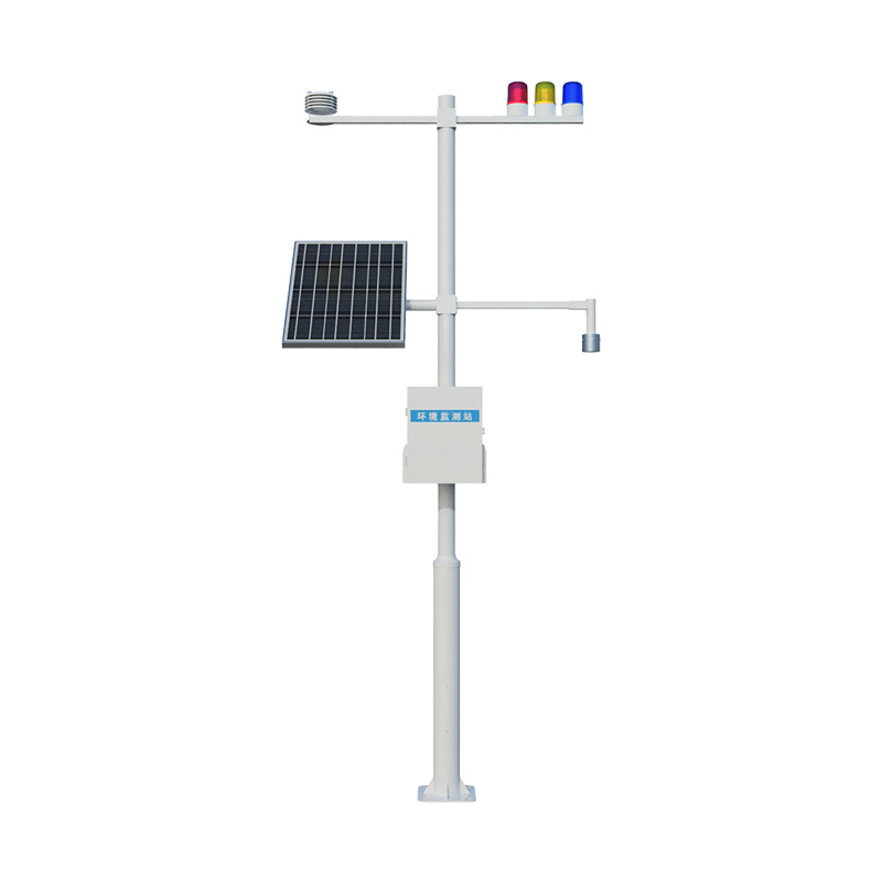
The brilliance of the WX-WY1 geological disaster GNSS monitoring and early warning system lies in its all-weather and global coverage characteristics. The monitoring station can precisely calculate its own three-dimensional coordinates by receiving signals from multiple satellites. When the mountain undergoes slight displacement, these changes will be immediately reflected in the coordinate data, just as every "heartbeat" of the earth is accurately recorded. This continuous monitoring capability leaves no place for potential geological risks to hide, thus buying a precious time window for disaster prevention and mitigation.
In practical applications, the GNSS monitoring system has demonstrated astonishing sensitivity. It can capture the slow creep of mountains by a few millimeters each year and also record the sudden acceleration of displacement trends after heavy rain. This all-round monitoring perspective enables researchers to distinguish between natural crustal movements and dangerous landslide precursors, providing a scientific basis for disaster early warning. Especially in key areas such as reservoir areas, mine slopes and seismic fault zones, such precise monitoring is particularly important.
Another advantage of the system lies in its networked layout. A single monitoring station may only reflect local deformation, but when multiple stations form a monitoring network, the deformation field characteristics of the entire area can be depicted. This systematic perspective enables managers to assess the extent and trend of deformation and predict potential disaster-affected areas. When abnormal displacement is detected, the system will immediately issue hierarchical warnings to provide decision support for personnel evacuation and engineering handling.
With technological advancements, modern GNSS monitoring systems are becoming increasingly intelligent. The real-time data transmission function enables the monitoring center to keep abreast of the on-site situation at any time. Intelligent algorithms can analyze deformation patterns and identify dangerous patterns. The integration with other monitoring methods makes the assessment of geological disasters more comprehensive and reliable. These improvements are driving disaster prevention efforts to shift from passive response to proactive prevention.

Article address:
http://www.qxhjjc.com/en/newcen/1720.html


 Home
Home phone
phone Product Overview
 Contact Us