At the forefront of meteorological observation, there is a special device working quietly - a 30-kilometer visibility sensor. It is like a watchman with "thousand-mile eyes", penetrating through fog and smoke, precisely measuring the transparency of the atmosphere, and providing crucial visibility data for traffic management.
The most astonishing feature of the WX-N30 30KM visibility sensor is its extremely long monitoring distance. Unlike ordinary visibility meters that can only observe a few kilometers, its monitoring capability of 30 kilometers enables it to capture the atmospheric conditions of a broader area. When light passes through the atmosphere, the sensor analyzes the degree of light scattering and attenuation through a precise optical system, just like conducting a "perspective check" on the air, converting the vague concept of visibility into precise values.
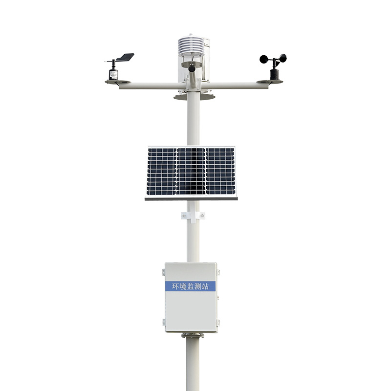
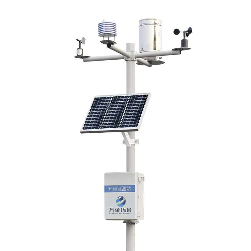
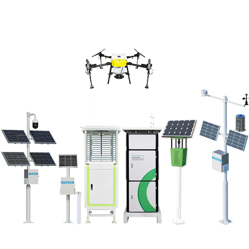
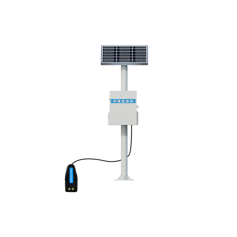
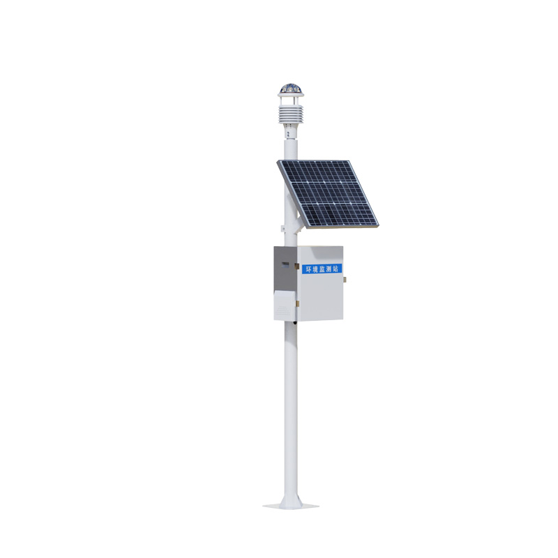
Visibility sensors for 30 kilometers are usually installed at key locations such as airport runways, port terminals and highways. Their design takes into account both functionality and environmental adaptability. Their simple appearance can withstand the invasion of all kinds of harsh weather. On foggy mornings or dusty afternoons, these devices still operate stably, like tireless "atmospheric detectives", constantly recording the transparency of the air.
Modern 30-kilometer visibility sensors have achieved a leap from "single-point measurement" to "network collaboration". Through the data communication system, the measurement results can be transmitted to the command center in real time, forming a dynamic distribution map of regional visibility. When visibility drops below the safety threshold, the system will automatically trigger an alarm to provide a basis for decision-making in traffic control and flight scheduling. This immediate and accurate monitoring capability makes safety management more scientific and efficient.

Article address:
http://www.qxhjjc.com/en/newcen/1719.html


 Home
Home phone
phone Product Overview
 Contact Us